Photo: Vitor Oliveira (Wikimedia Commons) · CC BY-SA 2.0 · source
Nature and walksCachão da Valeira
Ervedosa do Douro
Contacts and location
- Coordinates
- 41.15800, -7.36790 · see on map
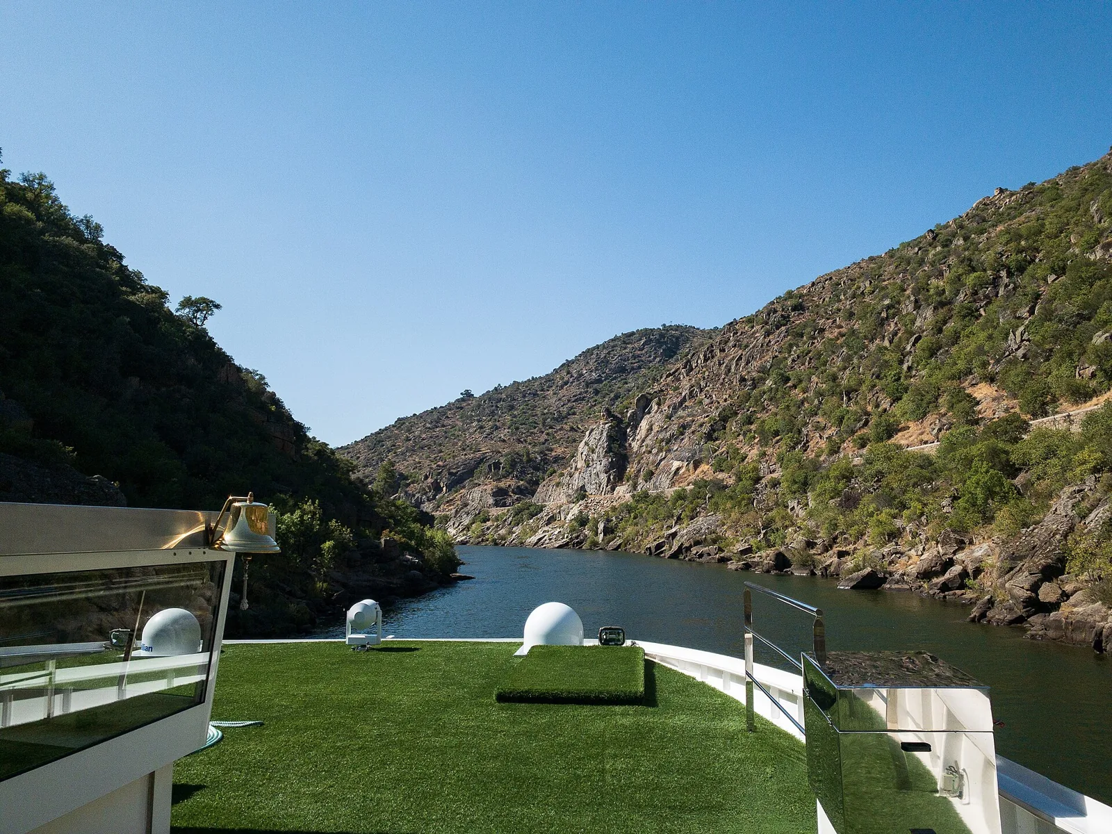
The Cachão da Valeira was a rocky gorge on the Douro, in the municipality of São João da Pesqueira, where the river narrowed and formed a waterfall. It lay about 6 km upstream from the mouth of the Tua and for centuries was one of the great obstacles to river navigation and to the transport of Port wine.
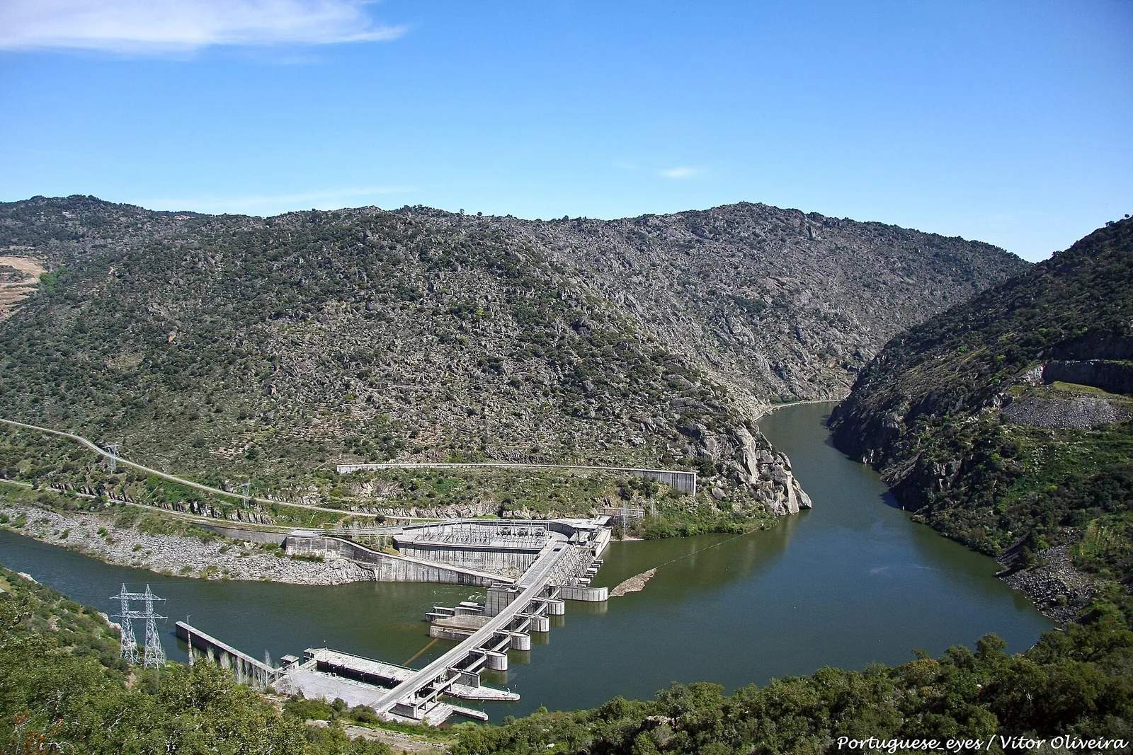
The fall no longer exists: the rock was demolished in the late 18th century, and the site now lies close to the Valeira dam.
From obstacle to navigable waterway
- The first attempts to clear the river for navigation date from 1530, according to Roteiro do Douro.
- In 1779 the Companhia Geral da Agricultura was authorised to levy a tax on wine, brandy and vinegar carried on the Douro to fund the works.
- Demolition began in 1780, led by Father António Manuel Camelo and the engineer José Maria Yola. The first boats passed in 1789; the work was declared complete in 1791 or 1792, depending on the source.
- Passage remained dangerous: on 12 May 1861 a rabelo boat coming from Quinta do Vesúvio capsized in these waters and several people died, among them Baron Forrester.
What remains today
On the left bank, at Ermo, there is an 18th-century inscription in Latin capitals inlaid with gilded bronze and topped by a closed crown. It commemorates the demolition of the rock under Queen Maria I and states that the work lasted from 1780 to 1792. It can only be reached by boat.
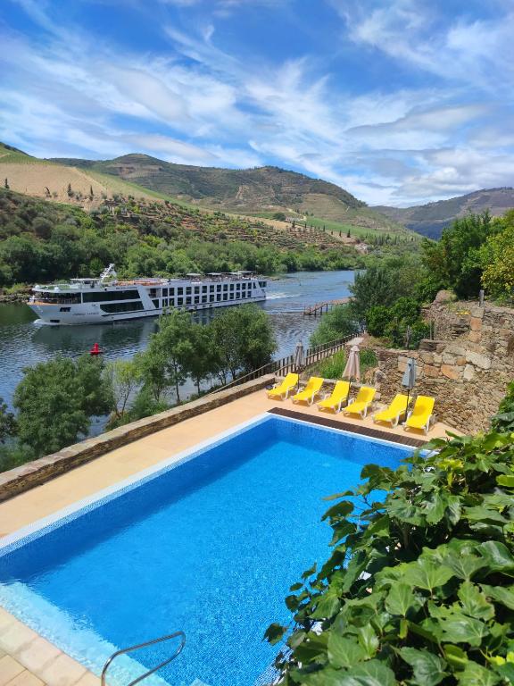
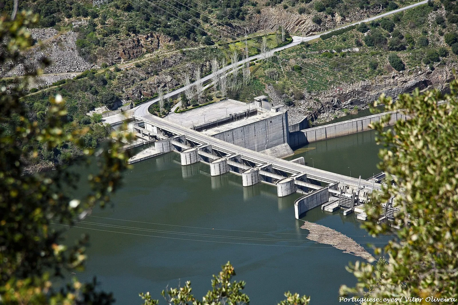
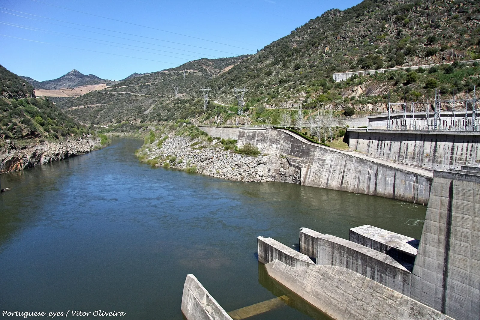
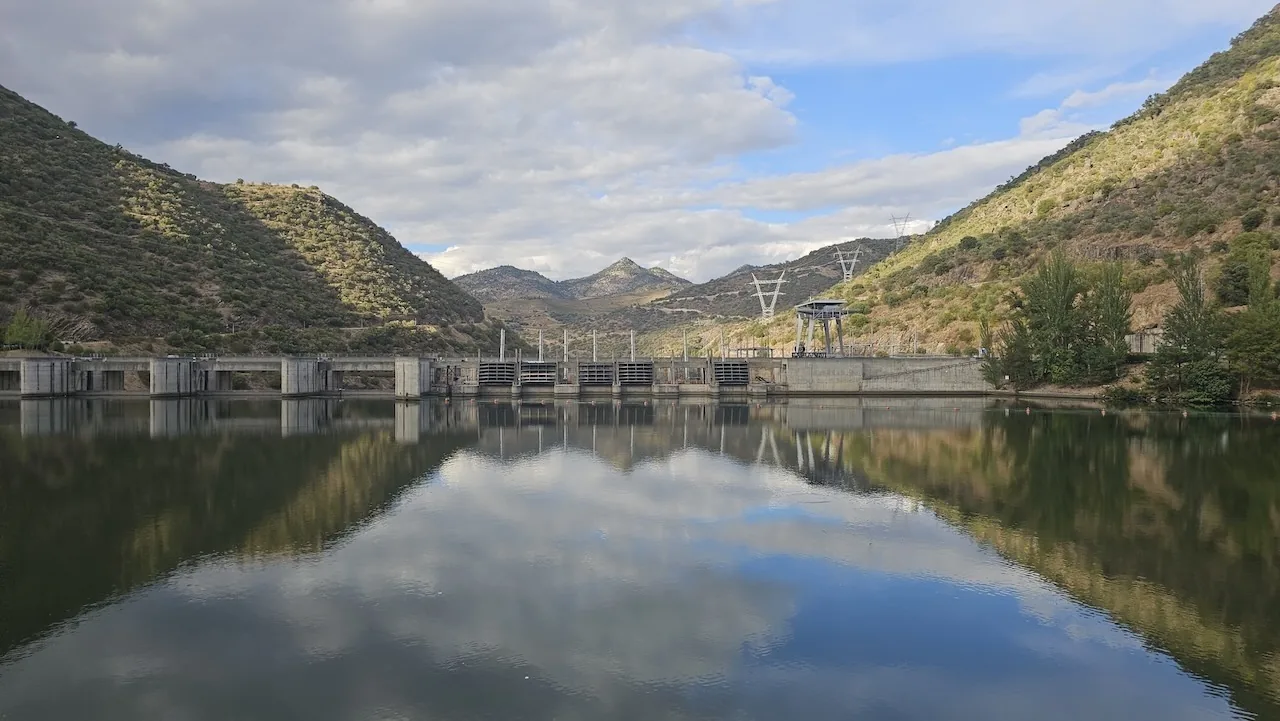
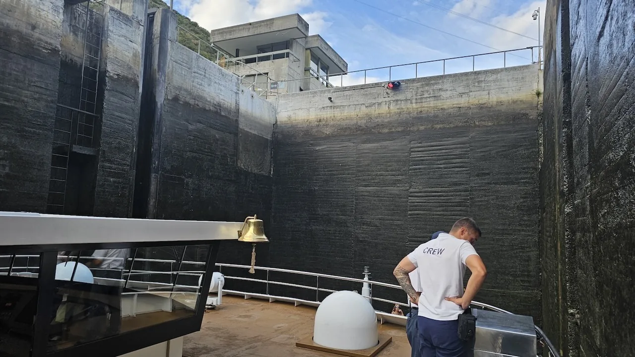
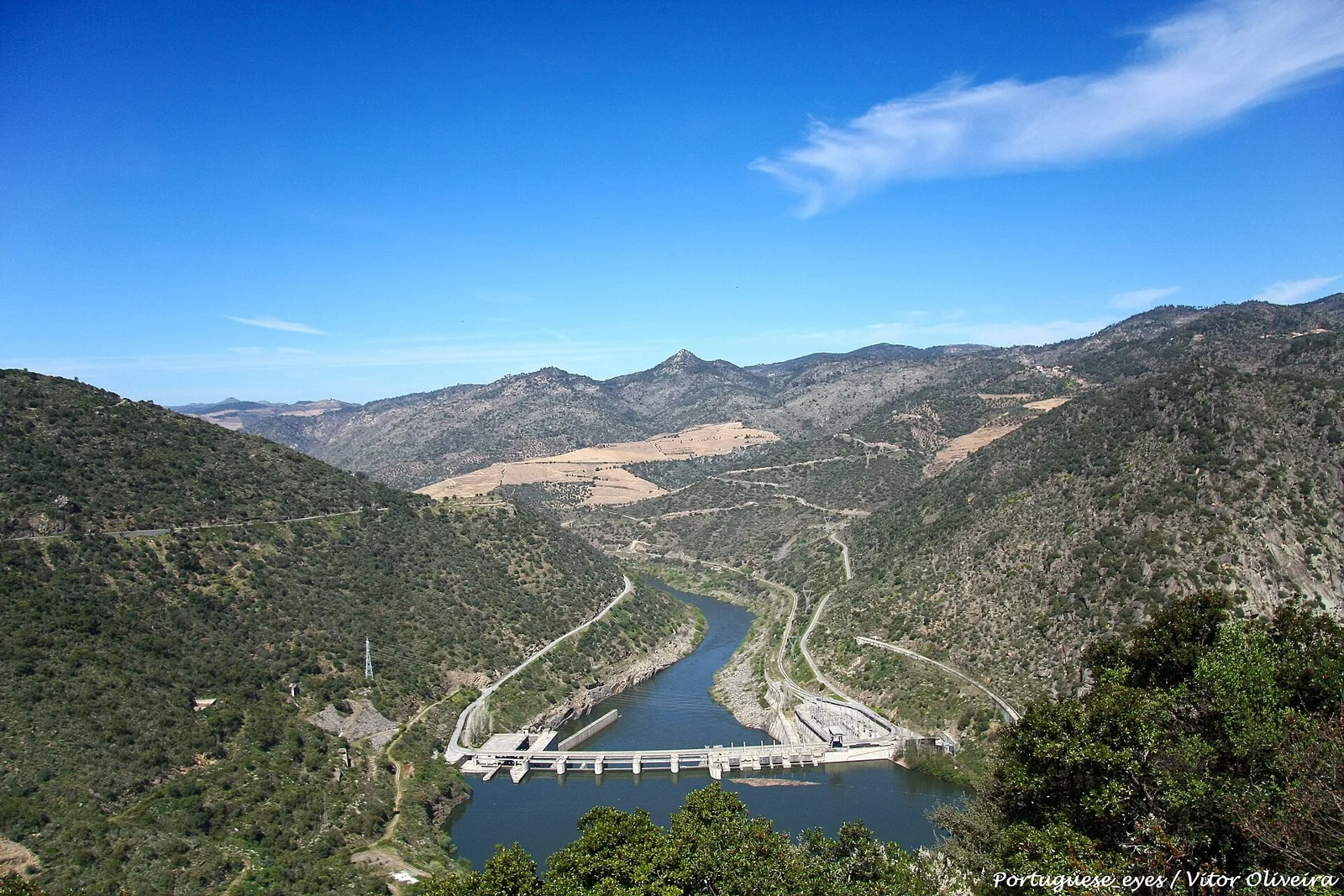
Downstream of the bend that follows the gorge stands the Valeira dam, whose construction began in 1971; its lock has a 33-metre drop and lets cruise boats continue upriver. The São Salvador do Mundo viewpoint offers, according to Roteiro do Douro, good views of the dam. Beyond it, cruises run up to the Barragem do Pocinho, usually departing from the Cais da Régua.
Photos
Location
Reviews
No reviews yet. Be the first to write one.