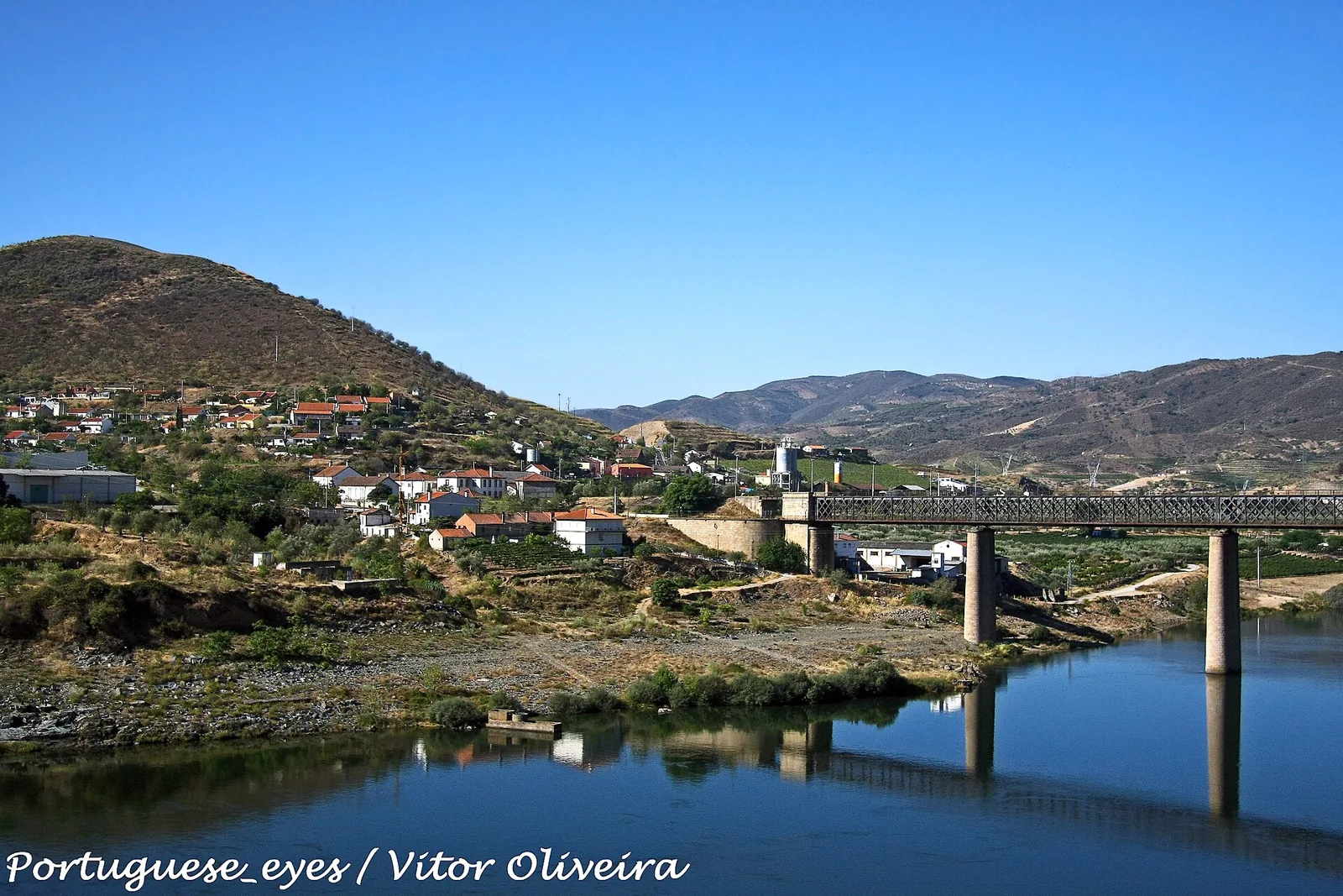
Photo: Vitor Oliveira (Wikimedia Commons) · CC BY-SA 2.0 · source
River and cruisesPocinho Dam
Vila Nova de Fôz Côa
Contacts and location
- Coordinates
- 41.13430, -7.11410 · see on map
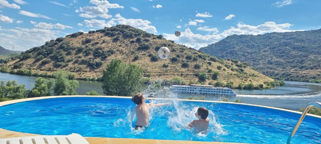
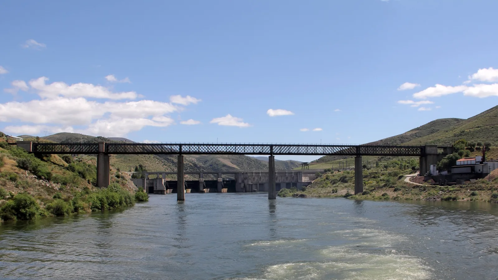
The Pocinho Dam closes the Douro river beside the village of Pocinho, in the municipality of Vila Nova de Foz Côa, on the left bank. The right bank belongs to the municipality of Torre de Moncorvo. It lies roughly midway along the stretch between the mouths of the Côa and Sabor rivers.
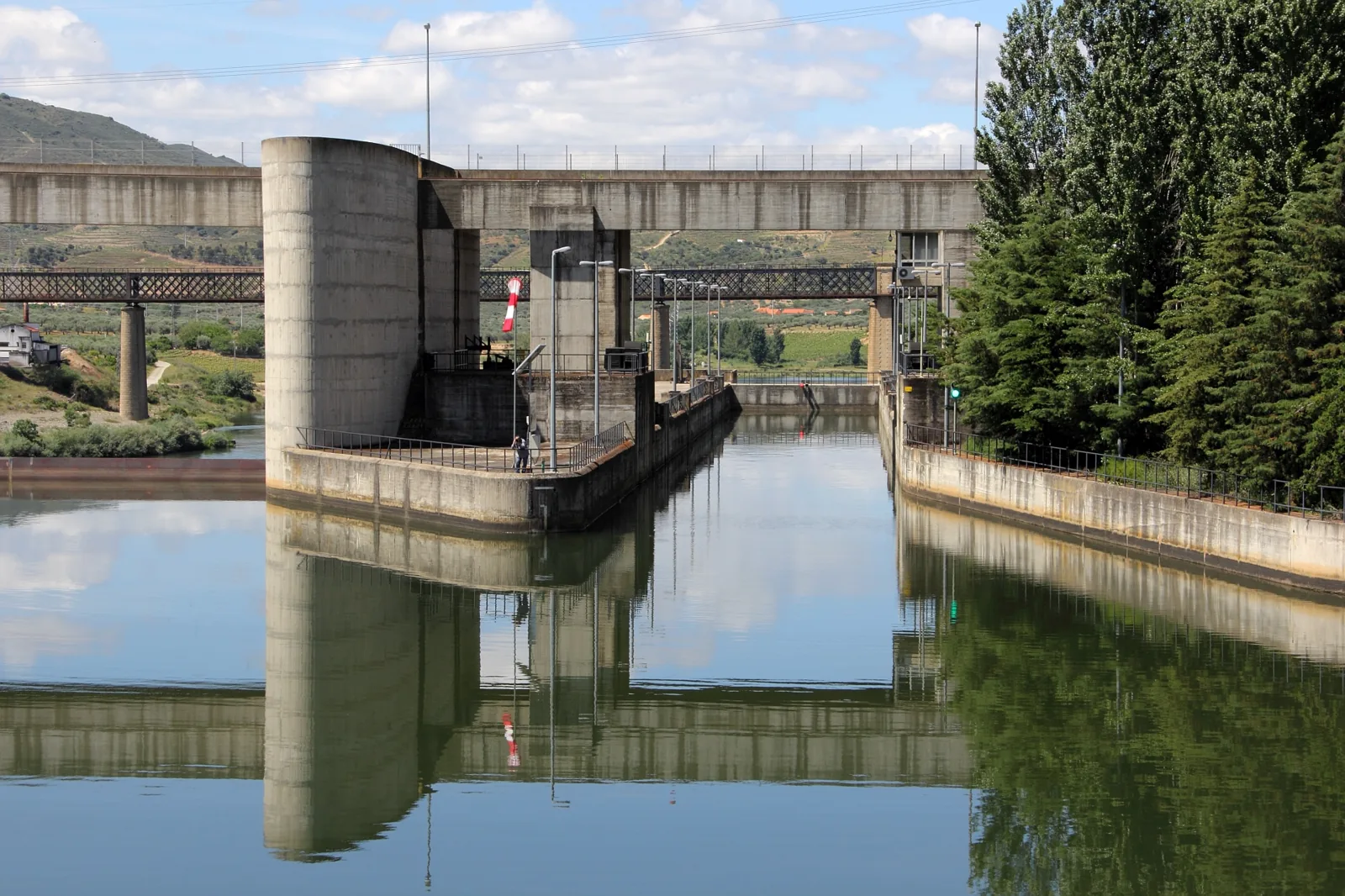
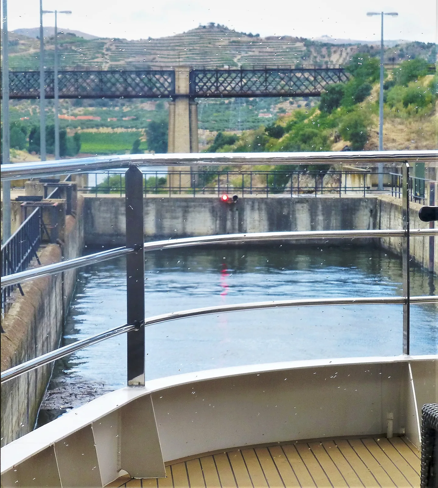
It is the last of the dams with a navigation lock on the navigable Douro: travelling upstream from Porto, it is the fifth and final one, and river cruises between Régua and Pocinho pass through it.
The dam and the power station
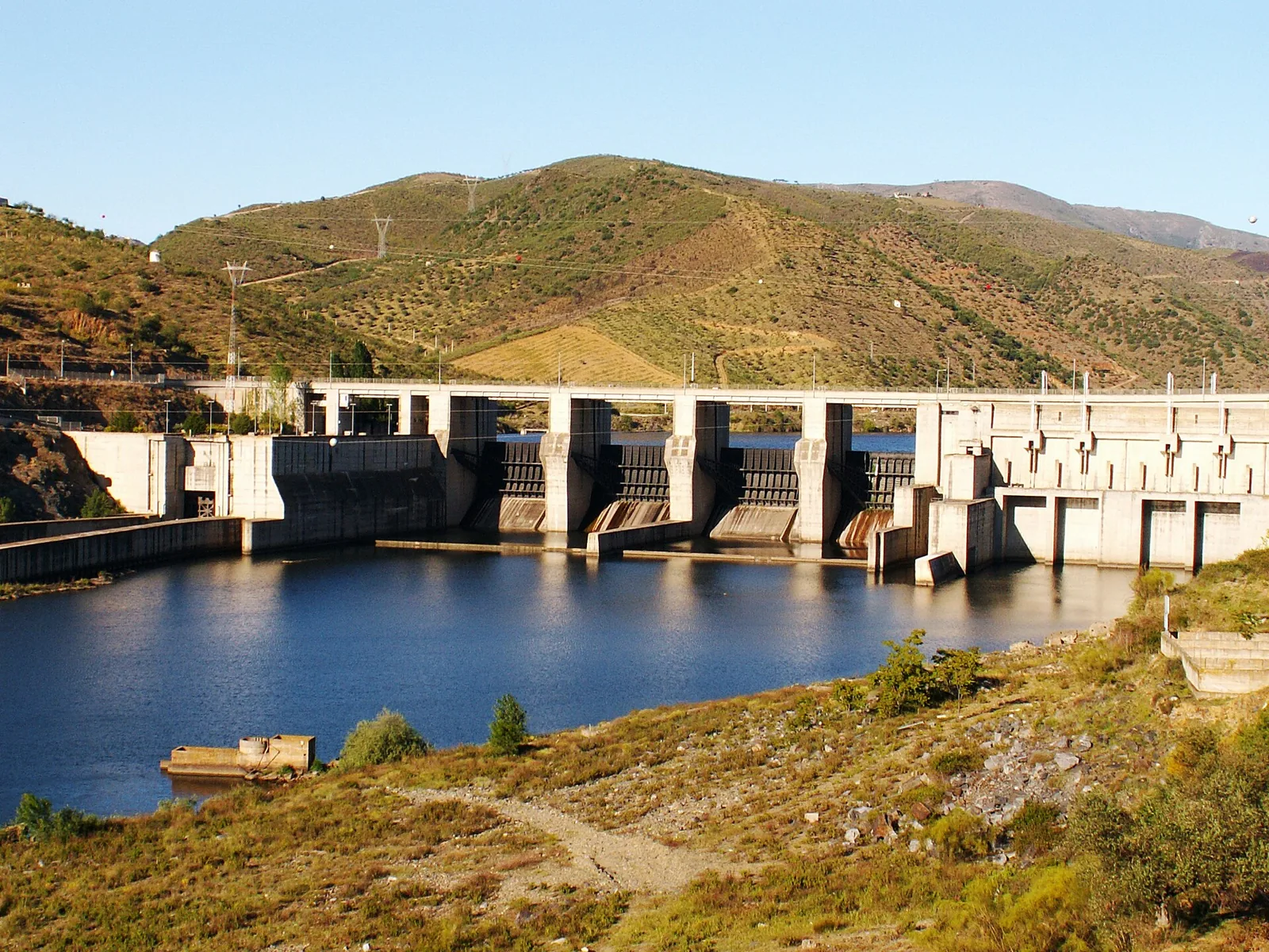
According to the Portuguese National Committee on Large Dams, the project dates from 1974 and construction was completed in 1982; Wikipedia gives 1983 as the year the power station entered service. It is a lightened concrete gravity dam, 49 m high above its foundation, with a crest 430 m long at elevation 139 m. The owner is EDP.
- An underground run-of-river power station with three Kaplan units of 57.6 MW each, for 186 MW of installed capacity.
- A reservoir with a full supply level of 125.5 m and a total capacity of about 83 million m³, of which about 12.2 million are usable.
The lock and navigation
The navigation lock sits at the right abutment of the dam and measures about 90 m by 12.1 m, according to Wikipedia. Between Porto and Barca d'Alva the Douro has five major dams, and Pocinho is the furthest upstream. The Rota do Douro website describes it as the second most recent on the Portuguese Douro.
Around the dam
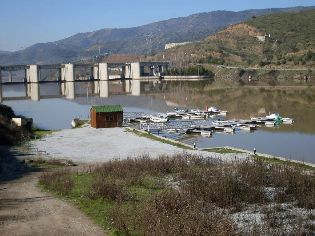
Since 1988 the village of Pocinho has been the end of the Douro railway line, after the section to Barca d'Alva and Spain was closed. The Pocinho High-Performance Rowing Centre operates on the reservoir's banks. About 11 km away, according to Rota do Douro, is the Vale do Côa Archaeological Park, with rock art on the banks of the Côa river.
Photos
Location
Reviews
No reviews yet. Be the first to write one.