Miradouro de Santo António
Peso da Régua
Contacts and location
- Coordinates
- 41.17575, -7.81430 · see on map
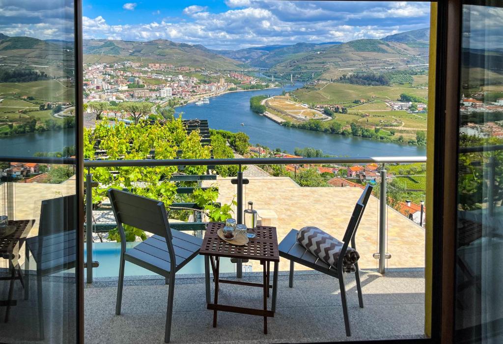
The Miradouro de Santo António stands in the parish of Loureiro, in the municipality of Peso da Régua, on the hillside above the town and the river. From here you can see Régua, the bend of the Douro, the town's three bridges and the Bagaúste dam, over traditional vineyards in the heart of the Douro wine region.
What you can see
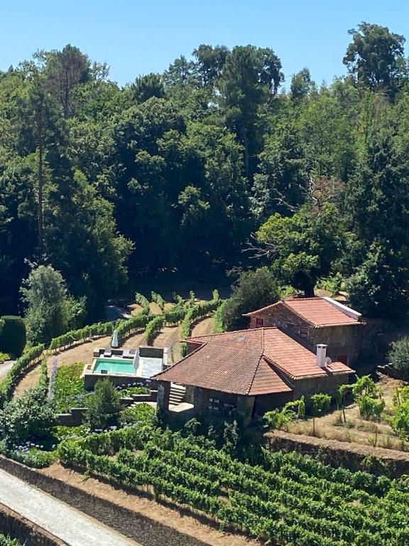
According to Roteiro do Douro and the municipality, the view takes in the town of Peso da Régua, the Douro and the bend it makes in front of the town, the three Régua bridges and the Bagaúste dam. The slope is dominated by traditional vineyards, with olive trees mostly marking property boundaries. The municipality calls the spot "a balcony over Régua" and says the Marão mountains can also be admired from here.
A guide to Douro viewpoints notes that the ground is mainly schist, from the Pinhão, Ervedosa and Desejosa formations, and that besides vines there are cork oaks, holm oaks and Mediterranean scrub.
Setting in Loureiro
The viewpoint sits at the top of the parish of Loureiro (São Pedro de Loureiro), whose coat of arms shows a laurel tree between two grapevines. From the parish's slopes you can also see Salgueiral, Godim and Jugueiros. To compare perspectives, you can add the Miradouro de São Leonardo de Galafura, another viewpoint in the municipality.
Practical information
- Getting there: from Régua take the N601 to Fontelas, then the N600 to the start of the viewpoint.
- Altitude: between 315 and 330 metres, according to the Douro viewpoints guide.
- Facilities: a small car park and a few benches for enjoying the view.
- Opening conditions: please confirm with the Peso da Régua municipality (254 320 230, cmregua@cmpr.pt).
Location
Reviews
No reviews yet. Be the first to write one.