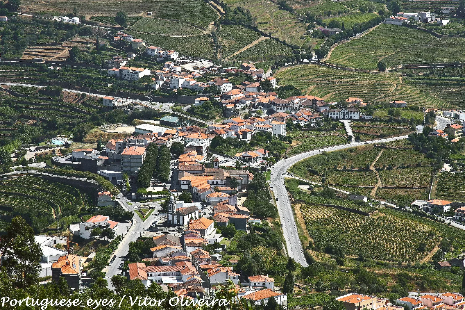
Photo: Vitor Oliveira from Torres Vedras, PORTUGAL · CC BY-SA 2.0 · source
Walking Trails in Douro Verde: Routes from Mesão Frio to Baião and Cinfães
· Team Douro Vinhateiro
Douro Verde has waymarked walks for every level, from a 7.3 km loop in Castelo de Paiva (about 2 hours) to an 18.8 km one-way route in Cinfães (about 5 hours). In Mesão Frio, the 12 km Rota do Pico da Vila is described as best in autumn, when the vine leaves turn red.
Douro Verde has waymarked walking routes for every level, from a 7.3 km loop in Castelo de Paiva (about 2 hours) to an 18.8 km one-way route in Cinfães (about 5 hours). This guide gathers six routes described by the independent guide Vailá, municipality by municipality, with the distances and durations it gives.
At a glance:
- Mesão Frio — PR1-MSF Rota do Pico da Vila: loop, 12 km, about 4 hours.
- Lamego — PR1-LAM Percurso da Serra das Meadas: loop, 11.4 km, about 4 hours.
- Castelo de Paiva — PR1-CPV Ilha dos Amores: loop, 7.3 km, about 2 hours.
- Baião — PR1-BAO Trilho das Florestas Naturais: loop, 12.5 km, about 4.5 hours; PR4-BAO/MCN/AMT Trilho dos Dolmens: loop, 12.3 km, about 4.5 hours.
- Cinfães — PR2-CNF Rota do Vale: one-way, 18.8 km, about 5 hours.
- Resende — PR1-RSD Vale do Cabrum Superior: loop, 9 km, about 4 hours.
What is Douro Verde, and where does this information come from?
Vailá, an online guide to activities and events, groups the municipalities of Amarante, Baião, Cinfães, Lamego, Castelo de Paiva, Marco de Canaveses, Castro Daire, Mesão Frio, Resende and Peso da Régua under the name Douro Verde. Its outdoor-activities section lists walking routes, mountain bike trails, river beaches and picnic areas. It is an independent guide, not an official service, so for each route it is worth opening the leaflet or map from the municipal tourist office, which Vailá itself points to on several route pages. The distances and durations below are the ones it publishes and depend on your own pace.
Which routes to walk in Mesão Frio and Lamego?
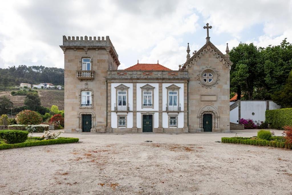
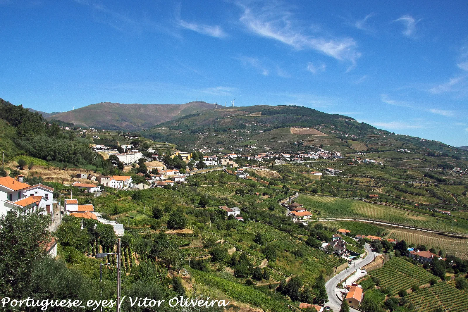
In Mesão Frio, the Rota do Pico da Vila (PR1-MSF) starts at the town's tourist shop. According to Vailá it passes vineyards and views over a part of the Douro valley little touched by modern times. The best season is autumn, when the grape leaves turn red, and the route is very steep in places. At 12 km and about 4 hours, it calls for proper walking shoes. If you want to stay nearby, one option is Casa Miradouro in Mesão Frio.
In Lamego, the Serra das Meadas route (PR1-LAM) starts and ends in the city, passing the Cathedral and the Castle. The turning point is the Serra das Meadas, home to the Parque Biológico da Serra das Meadas, the most natural stretch of the walk. The rest runs mostly through urban areas on paved roads, with the advantage of cafés and pastry shops: Vailá sums it up as "you won't go hungry". It is 11.4 km, about 4 hours.
What about Castelo de Paiva and Baião?
The PR1-CPV Ilha dos Amores, in Castelo de Paiva, is the shortest of the longer routes: 7.3 km, about 2 hours, a loop. It passes old farms along the Paiva river, with vines, churches, chapels, orchards and fields. There are two steep sections, and some walkers avoid the N224 by taking a shortcut after Leiros. Nearby is the small Praia Fluvial Castelo, facing the Ilha dos Amores, with parasols, WC and a bar, close to the open-air municipal pool; in summer canoes or paddle boards may be for rent. For more swimming spots, see our guide to river beaches in the Douro valley.
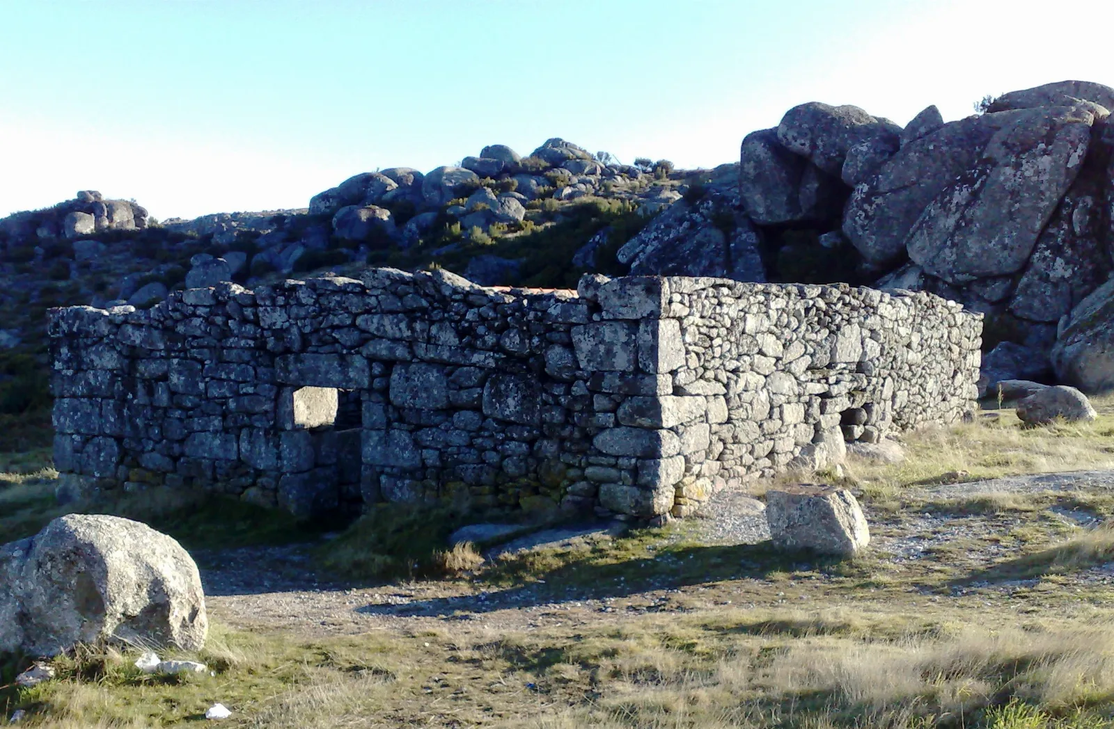
Baião has two loops of around 12 km. The Trilho das Florestas Naturais (PR1-BAO, 12.5 km, about 4.5 hours) starts at Ovil, follows the wooded Ovil river valley, climbs to the peaks of the Serra de Aboboreira and passes a megalithic dolmen. Vailá suggests walking clockwise if you prefer to get the hard part out of the way (the first 4 km are steep); anticlockwise the climb is gradual, but the last 4 km are a steep descent. The Trilho dos Dolmens (PR4-BAO/MCN/AMT, 12.3 km, about 4.5 hours) starts at the Centro Hípico in Baião and crosses an agro-pastoral landscape where dolmens, Neolithic funerary monuments, are a symbol of the region. It was renewed in 2019 and the waymarks may differ from the leaflet.
And in Cinfães and Resende?
In Cinfães, the Rota do Vale (PR2-CNF) links Vila de Muros to Portas de Montemuro over 18.8 km, about 5 hours, one way: plan your return, or walk it in the opposite direction, which Vailá says is possible. It crosses oak woods in the Bestança valley with plenty of water points, and highlights the Prado, the Romanesque bridge at Soutelo and the walled chapel at Portas de Montemuro. By the petrol station near Portas, the guide mentions a good restaurant with a view.
In Resende, the Vale do Cabrum Superior (PR1-RSD) starts at Ovadas and covers 9 km in about 4 hours. It crosses the Cabrum river three times, the oldest bridge being the Roman-era Panchorrinha, and the landscape is mostly agricultural, with the typical lameiros meadows. A river beach and a picnic area lie along the route.
Are there shorter or cycling alternatives?
For a shorter outing, Vailá lists the Trilho dos Moinhos (PR1-CDR) at Eiriz, in the municipality of Castro Daire: 5.5 km, about 2.5 hours, beside the Eiriz and Mós streams, with the Poço Negro pool, mills, the Tojosa waterfall and schist steps. Waymarks are not always well kept. For mountain biking there are routes numbered 41 to 49 at Gralheira, Nespereira and Feirão, all loops, from 9.7 km (about 1.5 hours) to 64.6 km (about 5.5 hours). For more walking ideas in the valley, see the best Douro trails for every level.
How to prepare a walk in Douro Verde in November?
Vailá does not report live path conditions, so before you set out check the leaflet or the municipal tourist office, especially where waymarks have been renewed. Choose the direction according to your energy (on the Baião loops it makes a difference), carry water and food even where cafés exist, and treat the durations as estimates: start early, because days are short at this time of year. On routes described as steep, shoes with good grip are the safest choice. If the weather is wet, favour a shorter route such as the one in Castelo de Paiva.
Frequently asked questions
What is the shortest trail in this Douro Verde guide?
The shortest is the Trilho dos Moinhos in Eiriz (Castro Daire) at 5.5 km and about 2.5 hours. The PR1-CPV Ilha dos Amores in Castelo de Paiva is 7.3 km and about 2 hours.
When is the best time for the Rota do Pico da Vila in Mesão Frio?
The Vailá guide names autumn, when the grape leaves turn red. The route is a 12 km loop of about 4 hours and is very steep in places.
Are the routes loops?
Most are. The exception here is the PR2-CNF Rota do Vale in Cinfães, a one-way 18.8 km route between Vila de Muros and Portas de Montemuro, which can also be walked in the opposite direction.
Where can I find the official map or leaflet for each route?
For several routes Vailá links to PDF leaflets from the tourist offices (Baião, Lamego, Mesão Frio) and to Wikiloc tracks. Always check the municipality's leaflet, since waymarks can change, as on the Trilho dos Dolmens, renewed in 2019.
Are there mountain bike routes in the area?
Yes. Vailá lists waymarked MTB loops at Gralheira, Nespereira and Feirão (numbered 41 to 49), from 9.7 km and about 1.5 hours to 64.6 km and about 5.5 hours.
Sources consulted
- vaila.pt/pt/atividades-ao-ar-livre-douro-verde.html
- vaila.pt/leisure/wand08/pr1-msf-rota-do-pico-da-vila-pt.html
- vaila.pt/leisure/wand02/pr1-bao-trilho-das-florestas-naturais-pt.html
- vaila.pt/leisure/wand11/pr2-cnf-rota-do-vale-pt.html
- vaila.pt/leisure/wand05/pr1-cpv-ilha-dos-amores-pt.html
- vaila.pt/leisure/wand06/pr1-lam-percurso-da-serra-das-meadas-pt.html
- vaila.pt/leisure/wand09/pr1-rsd-vale-do-cabrum-superior-pt.html
- vaila.pt/leisure/wand20/pr4-bao-mcn-amt-trilho-dos-dolmens-pt.html
- vaila.pt/leisure/wand03/pr1-cdr-trilho-dos-moinhos-pt.html
- vaila.pt/leisure/pfluv06/praia-fluvial-castelo-pt.html