Menir do Vale de Naçarães
Rua do Lameirão, Fontelo, 5110 Armamar
Contacts and location
- Address
- Rua do Lameirão, Fontelo, 5110 Armamar
- Coordinates
- 41.10740, -7.74378 · see on map
The Menir do Vale de Naçarães, also known as the Menir de Fontelo, lies in the Vale de Naçarães between Fontelo and Queimada, near Rua do Lameirão, parish of Fontelo, municipality of Armamar.
It is a rare example and one of the tallest of its kind in the Iberian Peninsula. It was probably raised in the 5th millennium BC, when the first dolmen tombs appear in the region. The monolith, in local granite, is sub-cylindrical with pointed ends and measures 5.32 m in length by 1.18 m at its widest. Its surface shows three cup-marks and four large pecked concentric circles. According to the SIPA record it now lies on the ground, away from its original erection site. In 2025 its classification as a Monument of Public Interest was under review.
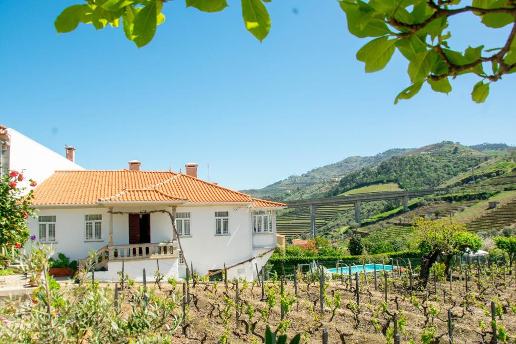
The menhir is about 4.5 km in a straight line from the centre of Armamar, in rural surroundings of the Alto Douro Vinhateiro. Drive to the Fontelo area and ask locally for the final access.
Location
Rua do Lameirão, Fontelo, 5110 Armamar
Reviews
No reviews yet. Be the first to write one.